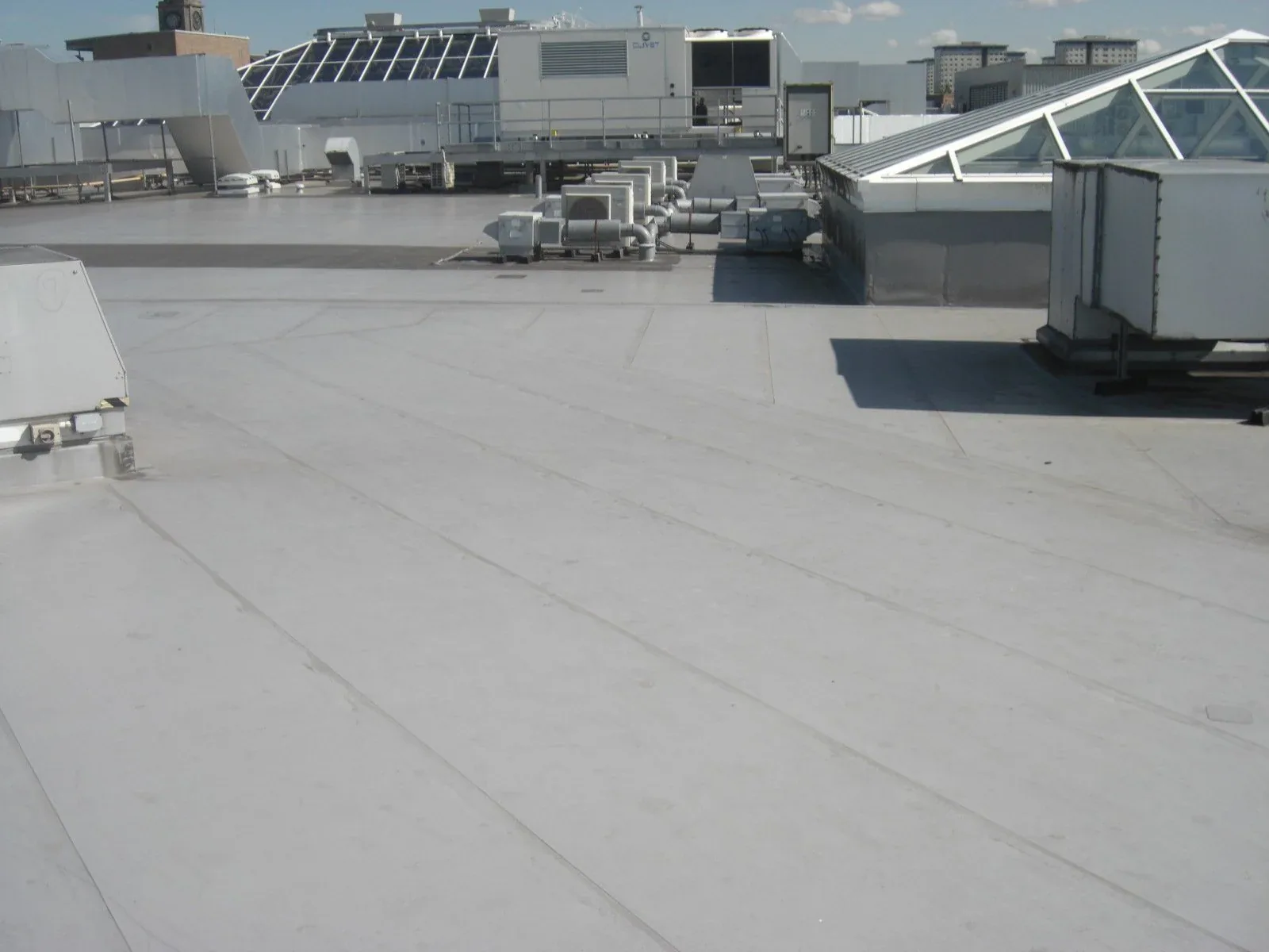
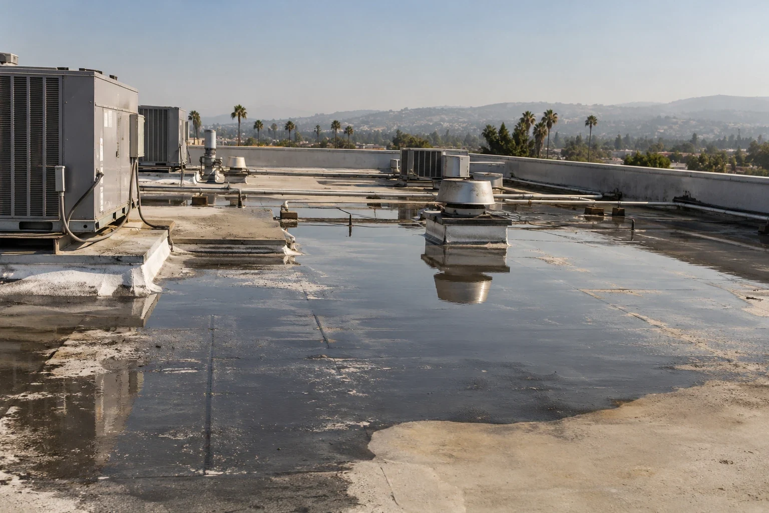
Can a drone survey replace a technician walking the roof?
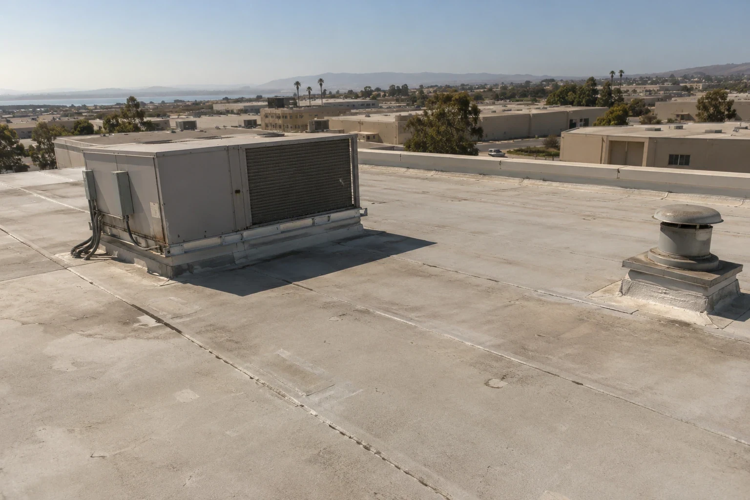
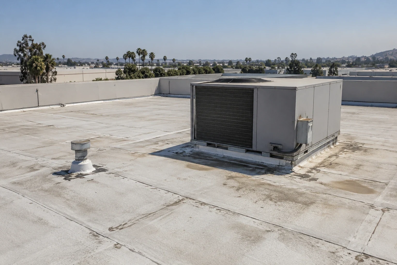
Start with the evidence needed for the project decision. Aerial images can document visible surfaces and relationships, while concealed layers, attachment and fine detail may need other investigation. Arrange hands-on access where it is suitable, and identify unresolved areas when access or testing limits prevent a supported conclusion.
What does airspace near Hayward and Oakland mean for scheduling a flight?
Review the precise flight location and proposed operation before assigning a date. Authorization, restrictions and operator requirements may affect the workable window. Include those dependencies in the construction schedule and decide how urgent project questions will be investigated if the planned flight cannot proceed.
Does thermal imaging work in a mild climate like Fremont's?
Evaluate thermal contrast against the actual assembly and recorded survey conditions. Sunny weather alone does not establish a valid result. Document the observation window, interpret competing explanations for anomalies and confirm selected findings through an appropriate investigation before assigning moisture-related work quantities.
Will the imagery be part of the closeout package?
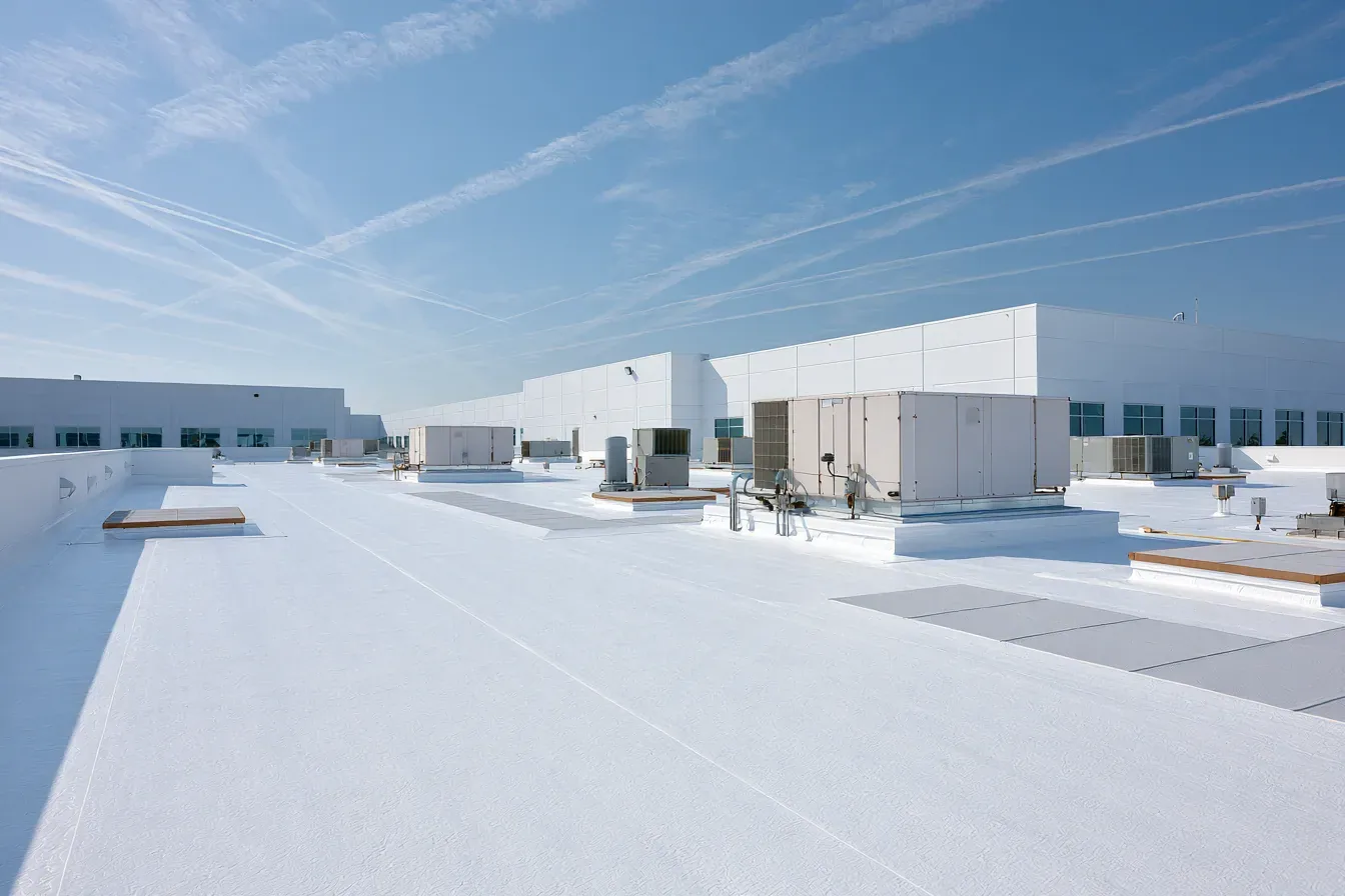
Agree on the image products and findings record when defining the scope. If a completed-roof baseline is wanted, include that additional flight and its access arrangements explicitly. Dated photographs can support comparisons, although they cannot resolve every question about concealed condition or when damage occurred.
How is tenant privacy handled when a drone is flying over a multi-tenant campus?
Set the privacy and security arrangements with the owner before the visit. Identify approved views, sensitive areas, distribution permissions and retention requirements. The property's written requirements should guide the imaging scope and handling of incidental images, with a responsible contact available to resolve changes during the work.